Bathymetry Survey and Limnological Evaluation
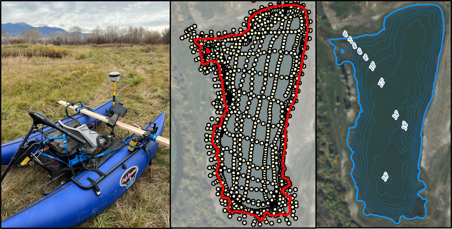
KF2 performed bathymetric and topographic surveys for several recreational ponds on the Hamilton Ranch to support limnological investigations with the intent of understanding site conditions and providing management recommendations that will improve the fishery. Site surveys of pond depth (bathymetry) and surrounding topography were completed using a Trimble R2 Global Positioning System (GPS) and SonarMite Echo Sounder (single beam 235KHz underwater transducer, ± 2.5 cm) affixed to a light duty pontoon catamaran.
Project Details
Client: Hamilton Ranch
Date: 2023
Tag: survey, limnological characterization